Doctor of Philosophy (PhD)
Integrated Watershed/Landscape Management, Wageningen University & Research, Netherlands
Sustainable use of water reservoirs and sediment trapping strategies in watershed management.
Soil & Water Conservation • Integrated Watershed Management • GIS & Remote Sensing • Landscape Restoration • Sediment & Hydro-Sediment Dynamics • Climate-Resilient Land Systems
Dr. Mulatie Mekonnen is an Associate Professor of Soil and Water Conservation at Bahir Dar University, College of Agriculture and Environmental Sciences (CAES), Ethiopia. He serves as Chair Holder of the Soil and Water Conservation and Management (SCWM) Teaching and Research Group, and coordinates MSc/PhD programs while advising over 50 graduate students.
Currently, he is Project Coordinator (BDU side) for the SMARTSCALE NWO Project (since 2026), focusing on scaling soil moisture retention practices for climate-resilient food production in semi-arid Ethiopia and Kenya. He also leads Team 1 of the SATREPS-EARTH Project (Japan–Ethiopia, 4 years), developing remote sensing-based monitoring of seasonal water hyacinth biomass variation for a healthy Lake Tana ecosystem, including buoy-based water quality monitoring.
His research integrates field-based soil & water conservation, hydrological/sediment modeling (RUSLE, LAPSUS, WEPP), and advanced GIS, Remote Sensing, Google Earth Engine, drones (UAV), and machine learning to address land degradation, erosion hotspots, landscape restoration (e.g., Mount Adama & Gish-Abay), and climate adaptation in the Ethiopian Highlands.
With over 50 peer-reviewed publications in high-impact journals, strong citation performance (total citations ~1,540+, h-index ~26), and extensive international collaborations (Netherlands, Japan, Germany, Kenya, USA), his work directly informs sustainable watershed policy, climate-resilient agriculture, and healthy lake/river basin management.
Advanced integration of field science, geospatial technologies, modeling, training, teaching, and international collaboration in Soil & Water Conservation, Landscape Restoration and Sustainable Watershed Management.
Integrated Watershed/Landscape Management, Wageningen University & Research, Netherlands
Sustainable use of water reservoirs and sediment trapping strategies in watershed management.
Geo-Information Science (GIS), Bahir Dar University and TFH University, Germany
Modeling runoff and soil erosion using GIS and remote sensing technologies.
Geography and Natural Resources Management, Bahir Dar University, Ethiopia
Focus on geography and natural resources management.
Awassa College of Agriculture
Bahir Dar University, GDTC
Teaching/advising BSc, MSc, PhD students; research on degraded landscape restoration, integrated watershed management, UAVs, water quality monitoring, and GEE-based resource mapping.
ANRS - Bureau of Agriculture, Ethiopia
Soil & water conservation, landscape restoration, integrated watershed management, climate change mitigation and adaptation.
ANRS - Bureau of Agriculture, Ethiopia
Forest cover monitoring, land use/land cover change assessment, geodatabase development, GPS data collection, and irrigation mapping.
Amhara Agricultural Research Institute (ARARI), Ethiopia
Supported soil and water conservation research at Adet Agricultural Research Center.
Leading Innovative Initiatives in Soil & Water Conservation, Watershed Management, and Remote Sensing for Sustainable Development
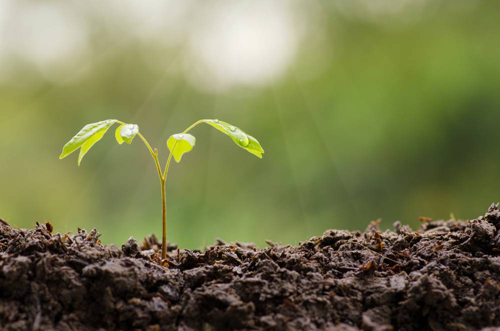
The Netherlands • Since 2026
Project Coordinator (BDU side). Understanding scaling of soil moisture retention practices for climate-resilient food production in semi-arid Ethiopia and Kenya.
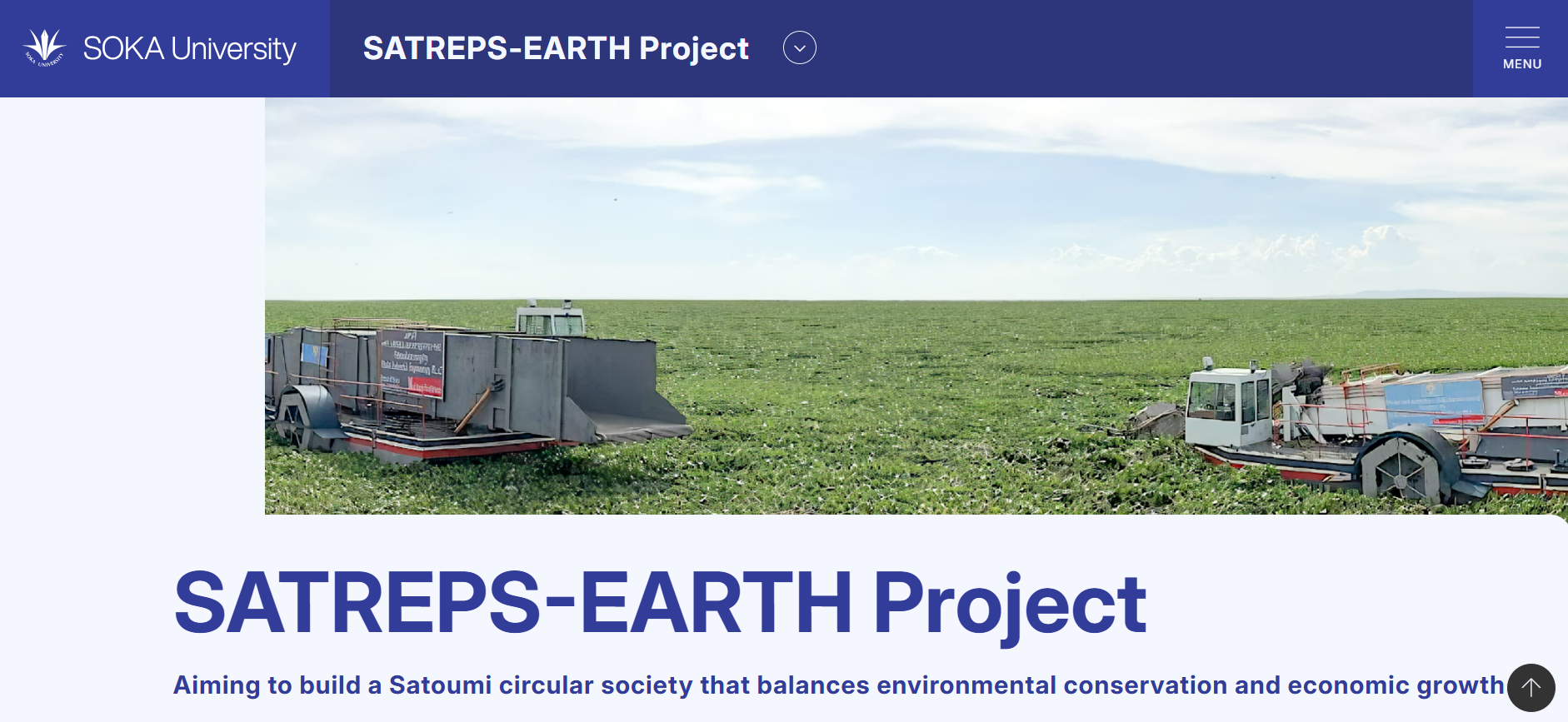
Japan
Team Leader. Developing monitoring methods for seasonal variation of water hyacinth biomass using remote sensing technologies for a healthy Lake Tana environment.

Ethiopia
Senior Expert. Integrated watershed management/landscape rehabilitation – Climate change adaptation.

Ethiopia
Focal Person. Integrated watershed management/landscape rehabilitation – Food security.
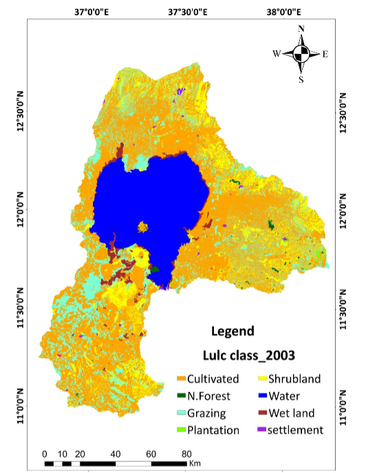
Ethiopia
Assessing Historical Land Use and Land Cover Change in Ethiopia’s Tana Subbasin and Implications on Environmental Degradation and Hydrology.
€1,400,000
Understanding scaling of soil moisture retention practices for climate-resilient food production in semi-arid Ethiopia and Kenya. Collaborators: Alliance Bioversity CIAT, WUR, JKUAT.

$1,500 (In-Kind)
Research materials: Computer, Camera, GPS, Binocular. Funding: Biodiversity Conservation Organization, America.
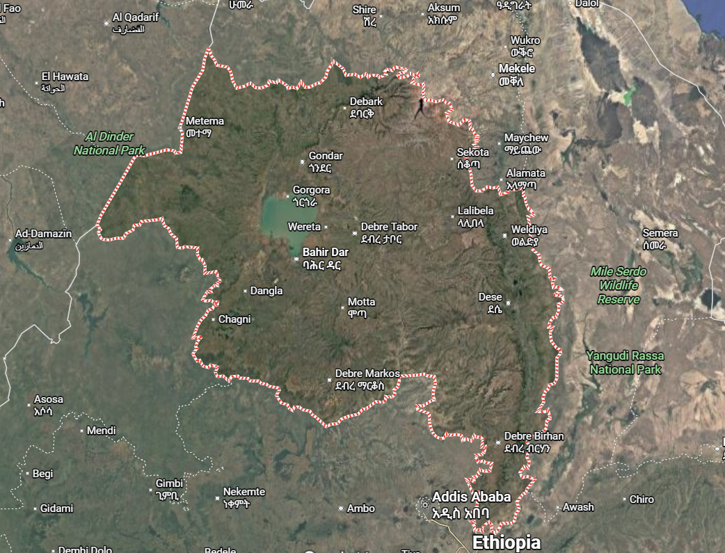
€20,000
Forest cover mapping in the Amhara National Regional State. Funding: ANRS BOA – 2012.
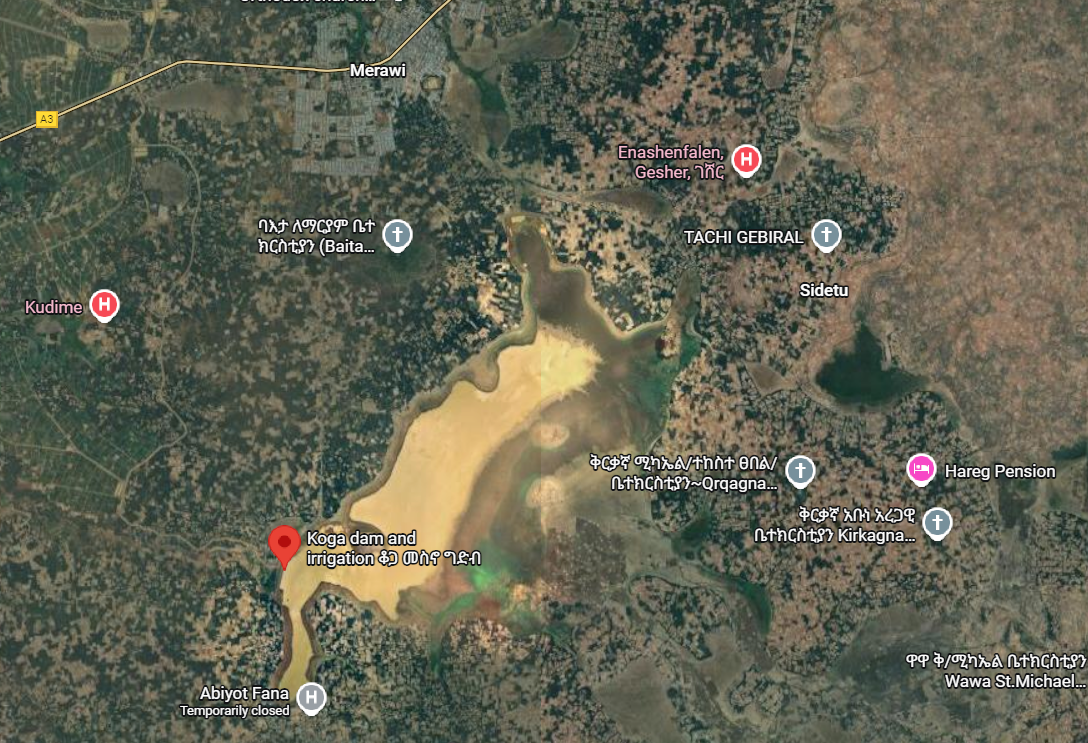
€85,000
Koga Irrigation Reservoir and Its Catchment Hydrology-Bathymetry-Soil-Erosion-and-Deposition. Grant No 8569/2012 – 2012.

€2,000
Soil erosion modeling, Runoff estimation, Water harvesting site selection. Funding: SWISA Canada – 2009.
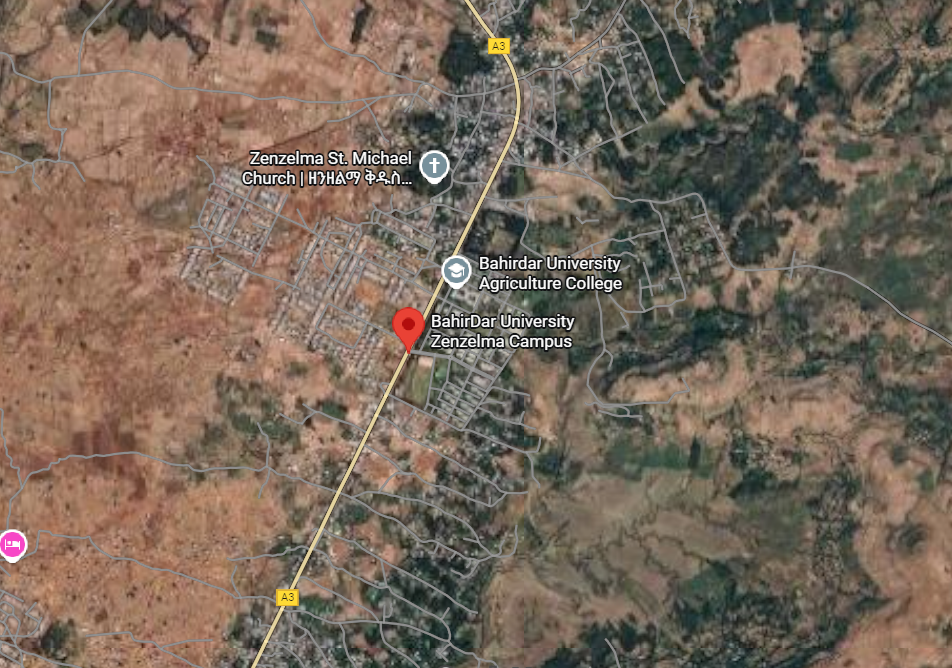
€6,000
Mogedel Model Rural Village Development Project Ethiopia. Funding: BDU – 2022.
Journal of Agriculture and Environmental Sciences
Served for 6 years.
Land Degradation and Restoration Journal
Ongoing membership.
Department Head, Course Chair Holder/Coordinator, MSc and PhD Programs Coordinator.
Founder & CEO – Platform integrating geospatial intelligence, remote sensing, climate analytics and precision agriculture for sustainable land management and climate resilience.
Founding Member – Contributing to national efforts in landscape restoration, soil health improvement and sustainable land management across Ethiopia.
Professional Member focused on sustainable eco-tourism, biodiversity protection and natural resource management practices in Ethiopia.
Active member contributing to academic excellence, research collaboration and scholarly development in the Amhara region.
Advised >50 MSc and PhD students. Examiner for >30 MSc theses, 8 PhD dissertations (Ethiopia), 1 PhD and 2 MSc (South Africa).
Research network centered at Bahir Dar University
with Dr. Mulatie Mekonnen as the central hub (2009–2026)
Climate Science • Soil & Water • Global Collaboration
